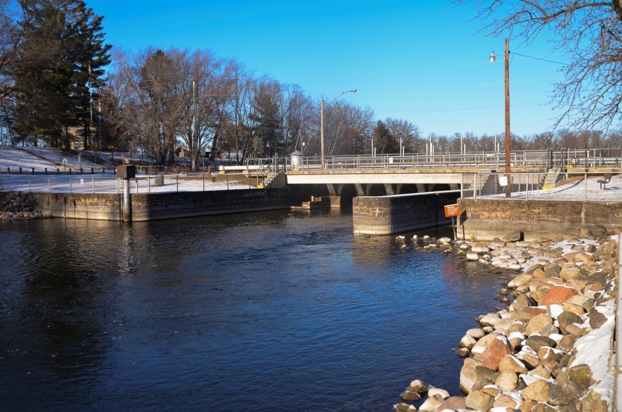
Maintaining the region’s water resources for maximum economic and environmental benefit is a full-time endeavor for the St. Paul District. Congress mandates the U.S. Army Corps of Engineers maintain a 9-foot navigation channel on the Mississippi River and manage water levels at each of its projects daily. To do this, a water management team located in the district’s water management section in St. Paul, Minnesota, focuses solely on water resources.
The different Corps projects maintained by the district are operated for many purposes, such as navigation, flood risk reduction, water supply or environmental enhancement. The water management team operates both the river and reservoirs according to approved water control plans. The plans are approved by the Corps’ Mississippi Valley Division, the Corps’ headquarters and Congress.
Upper Mississippi River
The Corps operates the locks and dams on the Mississippi River for navigation. The dams create pools for navigation during periods of low- and moderate-level water. These dams, combined with dredging, allows the Corps to maintain the 9-foot navigation channel. The district regulates the pool levels from Upper Saint Anthony Falls in Minneapolis to Lock and Dam 10 in Guttenberg, Iowa. For each pool, there is a primary control point, where a water level must be kept for navigation to continue. Water management personnel collect flow data on different reaches of the river and its tributaries to make necessary adjustments at each dam to maintain the correct level at each control point. In times of flood, the gates are raised clear of the water, thereby having minimal impact on the river’s natural flow.
Corps Reservoirs
Unlike the operating plan for the Mississippi River locks and dams, the reservoir dams are operated mainly for flood risk management, water supply, recreation purposes and environmental enhancement. Most of the reservoirs are lowered in the winter to make room for runoff from spring rain and snowmelt. Water management personnel collect data on current reservoir levels, the amount of water coming into and exiting the reservoirs, and forecasted weather to predict how much water from the dam needs to be released to maintain the correct lake level. For each reservoir, the water management team tries to hold the pool steady for recreation.
Water-Level Gauge System
Water management personnel maintain a system of around 110 water level gauges throughout the district’s rivers and projects. While all gauges measure water level, some also record water and air temperature, wind speed and wind direction. These data collection platforms send information to the Corps’ water management system via satellite. Water management personnel then use this data when determining how much water should be released from each dam each day. Information collected from these gauges is also shared with the National Weather Service, the U.S. Geological Survey, and the public.